National Interconnected System Atlas
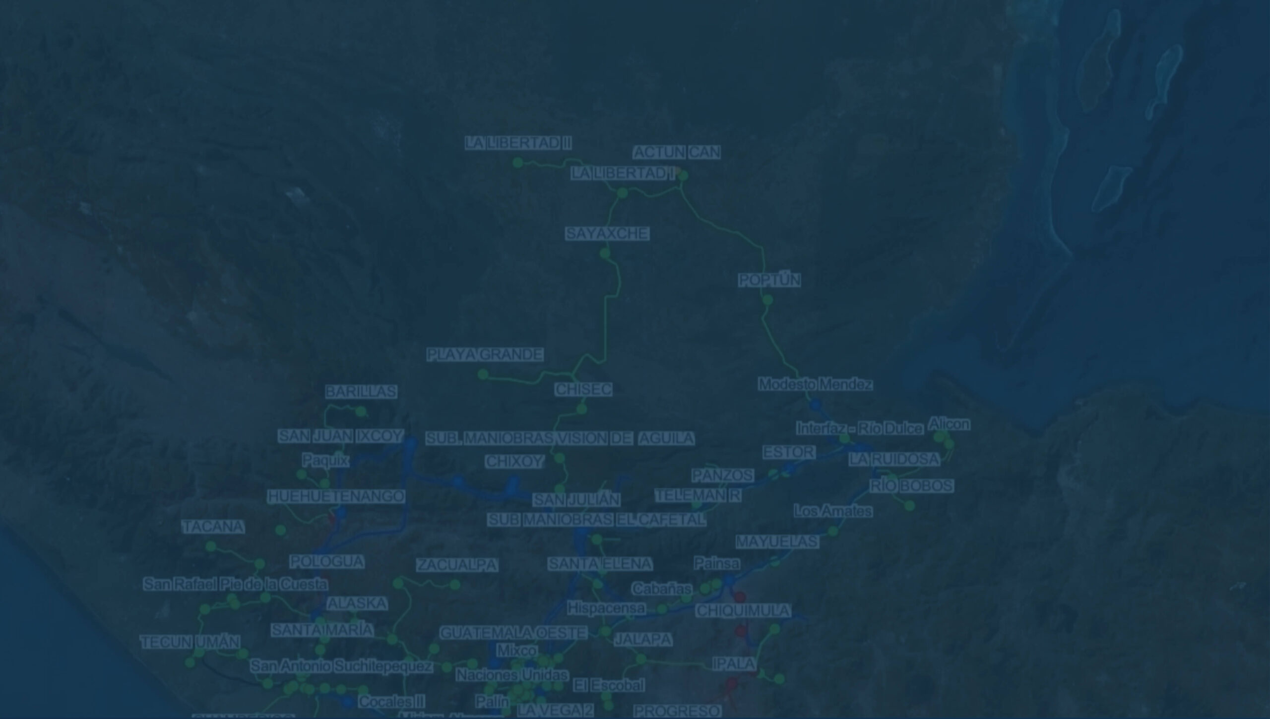
The “Atlas of the National Interconnected System of the Republic of Guatemala” provides access to a set of resources and services related to spatial information, such as consultation, location, search, and measurement of spatial data, without the need for specialized software, requiring only a web browser to access the ArcGIS Online visualization platform.
This tool was developed in response to the identified need in both the public and private sectors for an instrument that facilitates the planning of projects related to the electricity sector, which are fundamental for the country’s development.
The database is continuously updated with information provided by transmission and distribution companies, as well as data derived from the management of records related to the NTAUCT, NEAST standards, and the Transmission and Generation Expansion Plans. The cartographic sources used include the National Geographic Institute ‘Ingeniero Alfredo Obiols Gómez’, the Directorate of Geographic, Strategic, and Risk Management Information (DIGEGR) of the Ministry of Agriculture, Livestock, and Food (MAGA), the National Institute of Seismology, Volcanology, Meteorology, and Hydrology (INSIVUMEH), the Geospatial Toolkit GIS Data for Guatemala from the National Renewable Energy Laboratory (NREL), and the National Council of Protected Areas.
This version includes updates to the electrical infrastructure, georeferenced with the precision provided by entities linked to the electricity sector and the country’s geoinformation. The location of projects related to NEAST standards, Transmission and Generation Expansion Plans, as well as the routes of lines connecting large users and generators to the transmission system, are for reference purposes only and should be considered indicative. Updates will be carried out periodically.
To ensure an optimal navigation and visualization experience of the Interactive Atlas Version, it is recommended to have an internet connection with adequate bandwidth and to use a device with suitable performance. The application is compatible with computers, mobile phones, tablets, and other devices that allow efficient access to interactive web environments.
The distribution is available in the following formats:
Interactive Atlas Version
This version is provided in an interactive digital format, accessible through a web browser with an internet connection. To view it, a link to the application will be provided along with the corresponding credentials (username and password), which are for the exclusive use of the authorized user. The provided credentials will be valid for one year, and renewal must be requested annually.
Digital Format Version
(High-resolution PDF):
Digital Format Version (High-resolution PDF): This version is delivered via a link and consists of a high-resolution PDF image, intended exclusively for the use of the purchasing user.